Busan: a guide to the neighbourhoods, Haeundae to Gamcheon
Nampo, Seomyeon, Haeundae, Gwangalli, Gamcheon: how Busan is laid out, what the war left in its street plan and where to go for what.
La rédaction Kotoba Interactive
Studio éditorial
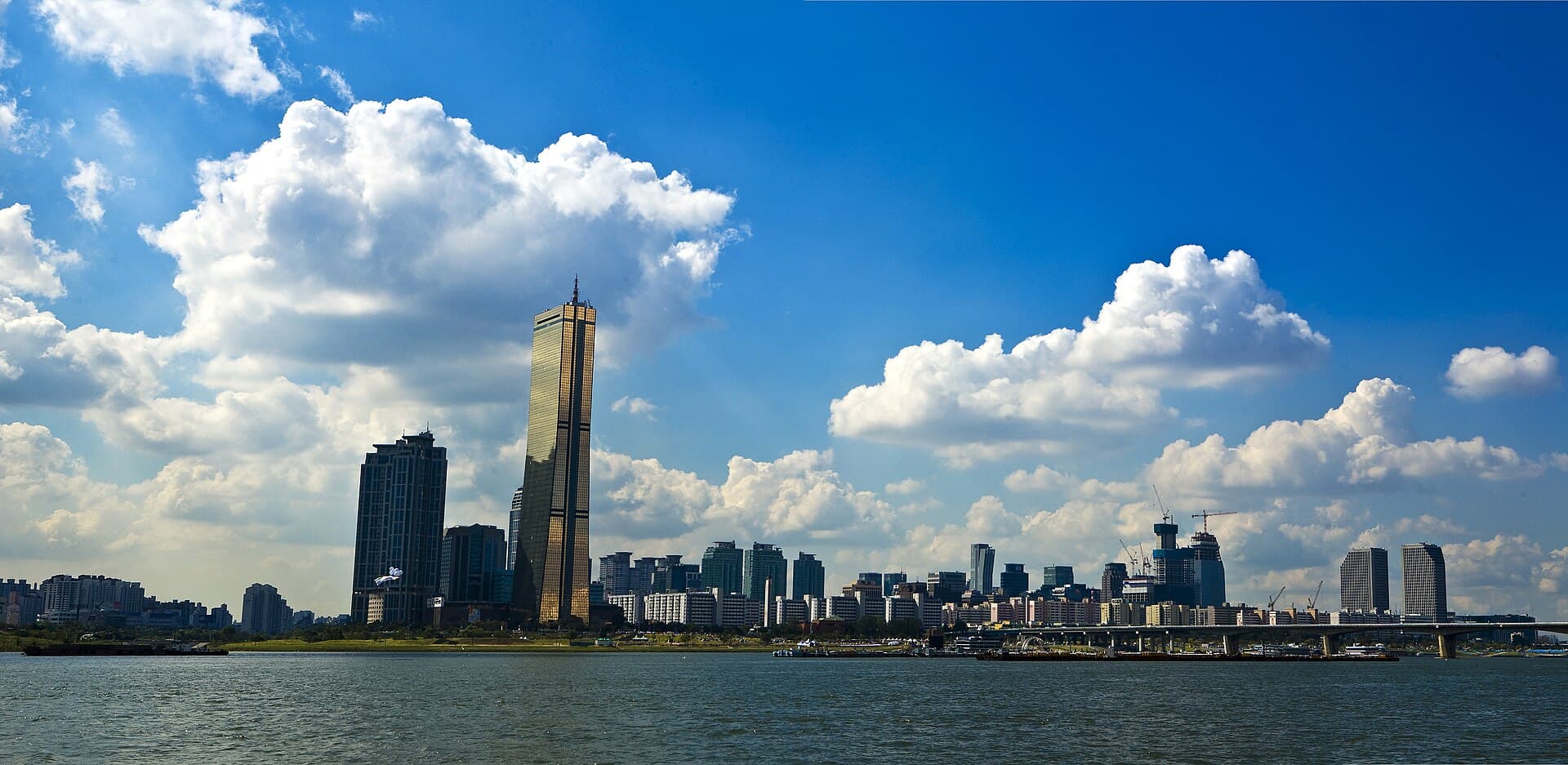
In Seoul, people arrange to meet at a metro exit. In Busan, they arrange to meet at a beach, a market or a bridge. South Korea's second city has no single centre and never had one: it stretches some thirty kilometres between mountains and sea, in a run of urban pockets separated by ridges.
That scattered plan is not a geographer's whim. It comes from a port, from hillsides too steep to be laid out on a grid, and from a war that threw hundreds of thousands of refugees into the city in three years. Reading Busan means reading those three layers in today's neighbourhoods.
A city in a strip, wedged between mountain and sea#
Busan has a little over three million residents and is administratively divided into sixteen units: fifteen districts, the , and one rural county, the , Gijang in the north-east, the only one of its kind in the city.
Geography dictates everything. The ranges that run down to the shoreline cut the territory into basins, each with its market, its station and its identity. You cross from one to another through a tunnel, over a pass or along a metro line, rarely in a straight line. Someone from the old port visits the eastern beaches no more often than a Londoner crosses the river.
The city's name, , is written with the characters for "cauldron" and "mountain", after the shape of a hill near the old harbour. The first Japanese trading post authorised on the site, the waegwan, was operating there as early as the fifteenth century: long before being Korean in the modern sense, the city was an airlock.
Nampo and Jung-gu: the old harbour Busan#
The historic core sits in Jung-gu district, around the quarter. This is the Busan of before the towers: narrow streets, packed signage, the smell of grilling fish.
Three places follow one another on foot. The Jagalchi fish market (자갈치시장), Korea's largest, run since the post-war years by vendors known as jagalchi ajumma; its current building, opened in 2006, traces a gull's wing above the quay. The , born from reselling American aid and smuggled goods during the Korean War. And BIFF Square, a former cinema street where the Busan International Film Festival held its first edition in 1996; the festival moved in 2011 to a new building in Centum City, but the filmmakers' handprints stayed in the pavement of Nampo.
A few steps away, the second-hand bookshop street of Bosu-dong has since the 1950s lined up shops where books climb to the ceiling, a direct legacy of refugee students reselling their textbooks.
Seomyeon, the centre nobody decreed#
If Busan has a functional centre, it is , in Busanjin-gu. Nothing historic here: the district owes its status to a junction, that of metro lines 1 and 2, which makes it the pivot of every trip across town.
It holds the city's densest concentration of shops, interconnected shopping-centre basements, an entire street of cosmetic and dental clinics, and the nightlife area where students gather in the evening. It is the handiest place to stay if you plan to move in several directions, and the least photogenic of them all.
| Neighbourhood | District | What for | Access |
|---|---|---|---|
| Nampo-dong | Jung-gu | Markets, cinema, old harbour | Line 1, Nampo station |
| Seomyeon | Busanjin-gu | Shops, nightlife, interchanges | Lines 1 and 2, Seomyeon station |
| Haeundae | Haeundae-gu | Beach, towers, aquarium | Line 2, Haeundae station |
| Centum City | Haeundae-gu | Cinema, trade fairs, department stores | Line 2, Centum City station |
| Gwangalli | Suyeong-gu | Lit bridge, seafront cafés | Line 2, Gwangan station |
| Gamcheon | Saha-gu | Stepped village, artists' studios | Line 1 to Toseong, then bus |
| Yeongdo | Yeongdo-gu | Cliffs, seafront, shipyards | Bus from Nampo |
Haeundae and Centum City: the Busan on show#
is the country's best-known beach, a kilometre-and-a-half crescent of sand lined with hotels. In August the parasols form an unbroken chequerboard that the Korean press photographs every year as a seasonal fixture.
Behind the beach stands a wall of residential towers, the Marine City district, then the Centum City complex, built on the site of a former airport. It holds the BEXCO convention centre, the Shinsegae Centum City department store, listed in the Guinness World Records in 2009 as the largest in the world, and the , opened on 29 September 2011, whose LED-covered cantilever roof serves as the festival's stage.
Since 2020 the eastern end of the district has added an attraction that went viral: Blueline Park, a former coastal railway turned promenade, doubled by small suspended capsules that skim the sea between Mipo and Songjeong.
Gwangalli, Gamcheon, Yeongdo: three postcards and their reverse#
owes its fame to the Gwangan Bridge, opened in 2003, whose night lighting changes colour and backs the Saturday evening drone shows. The beach is narrower than Haeundae's, the line of cafés facing it far denser.
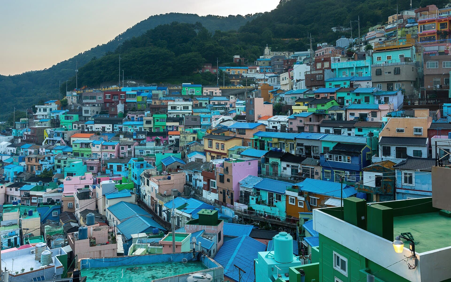
is the stepped village of coloured houses on every guidebook cover. Its origins are markedly less picturesque: the neighbourhood was settled in the 1950s by war refugees and by followers of a religious movement, Taegeukdo, on worthless hillside land. The present decor dates from an art project launched in 2009 with students and residents. Success brought back shops, and also tour coaches, and signs now ask visitors to lower their voices: people live behind those painted façades.
, the island linked by bridges to the old port, offers the city's sharpest contrast: working shipyards on one side, on the other the Huinnyeoul coastal path clinging to a cliff, where former workers' houses have become cafés.
Busan is home to the United Nations Memorial Cemetery, in Nam-gu district, where coalition soldiers killed during the Korean War are buried. It is the only United Nations cemetery in the world.
What the war left in the street plan#
From 1950 to 1953, Busan was the provisional capital of the Republic of Korea, one of the few areas never taken by Northern troops. The city's population more than doubled within months.
That history is still legible in the relief. The , the mid-slope roads that cross the hills, serve neighbourhoods built without a plan by refugees, house against house, staircase after staircase. In Ami-dong, some walls rest on Japanese gravestones salvaged from a disused cemetery, for want of other materials. The governor's residence turned provisional presidential palace can be visited today as the Provisional Capital Memorial Hall.
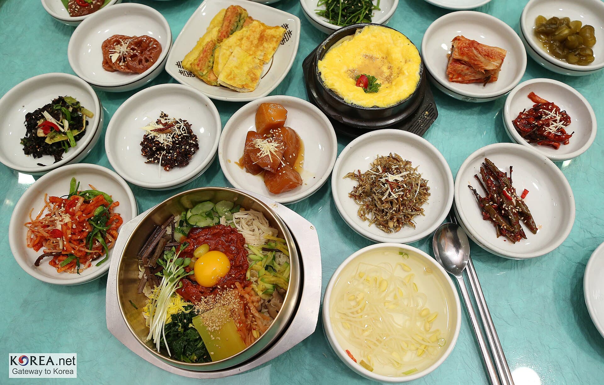
The local food comes from the same period. , cold wheat noodles, was born of the impossibility for refugees from the North to find the buckwheat of their native naengmyeon. , pork soup with rice served at any hour, established itself as the popular dish of a city where people ate what they had, fast and hot.
Busan was not built to a plan, it was built to an emergency, and you can still see it in the pitch of its streets.
Three words are enough to find your way around Busan: 바다 (bada, the sea), 시장 (sijang, the market) and 역 (yeok, the station). KoreanSRS, our spaced repetition app, installs that vocabulary and the everyday Korean that goes with it.
Getting around, eating, listening#
The metro has four lines, complemented by the Donghae line running up the east coast towards Gijang and by the light rail to Gimhae. The Korean rechargeable transport card works here as in Seoul, and line 2 alone links Seomyeon, Centum City, Haeundae and Gwangalli.
One local trait is audible from the first conversation: Busan , the Gyeongsang speech, whose pitch swings surprise ears accustomed to Seoul Korean. Koreans often describe it as blunt; locals answer that it is simply direct. Films and series play on it constantly, and a single line in satoori is enough to place a character.
Still, the city is better seen from the water than from lists. Take the local ferry or walk a coastal path at sunset: the port, the cranes, the towers and the refugee hills then appear in a single frame, which no metro map manages to show.
Read alsoSeoul: the district guide that makes the city legibleSeoul reads quite differently, in districts and metro exits, on either side of the Han river.
The Nampo markets are among the best street food grounds in Korea, seeded hotteok first among them.
FAQ#
How many days does Busan need? Two days cover Nampo, Gamcheon and one beach. Three or four allow you to add Yeongdo, the seaside temple of Haedong Yonggungsa and an evening at Gwangalli without rushing.
Which neighbourhood should I stay in? Seomyeon for interchanges and shops, Haeundae for the beach and hotel comfort, Nampo for markets and the old port. Gwangalli is a compromise between sea view and moderate prices.
How do I get from Seoul to Busan? The KTX high-speed train links Seoul to Busan station in just under three hours. Flying is quicker in the air but rarely quicker centre to centre once airport transfers are counted.
When should I go? Spring and autumn offer the best balance. July and August are hot, humid and crowded on the beaches; autumn coincides with the film festival, in October, when hotels fill fast.
Can Gamcheon be visited freely? Yes, the village is an open residential neighbourhood with no entry ticket. Some studios and viewpoints charge, and residents ask that private areas and the quiet of the alleys be respected.
Photo credits: the images in this article come from Wikimedia Commons and are under free licences.
Seoul: the district guide that makes the city legible
Gangbuk and Gangnam, gu and dong, subway exits: how Seoul is organised, what each district is for, and how to read a Korean address without getting lost.
Cover image: Basile Morin · Basile Morin, via Wikimedia Commons · CC BY-SA 4.0